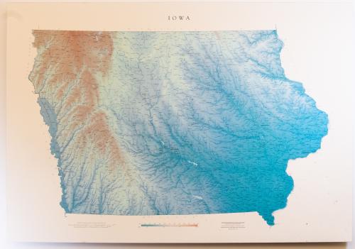
Raven Map of Iowa
This map created in 2002 depicts the state of Iowa in minute detail, complete with a legend centered below the map. The map highlights urban and rural areas, rivers and tributaries, highways and railroads of primary and secondary importance, as well as neighboring states. Elevation and terrain are depicted through color gradation and change of hues, giving the 2-D print a 3-D appearance. This map printed on foam core was produced as part of a set including Missouri, Kansas, Nebraska, and Oklahoma.
Inventory
Description
Details
This is a large map of the state of Iowa at a scale of 1:500,000 depicting urban and rural areas, rivers and tributaries, highways and railroads of primary and secondary importance, as well as neighboring states.
Artist
Framed
No
Width
.125 inches
Height
33.5 inches
Length
48.5 inches
Donor
Donor Name
Jonathan Kemper
Library Owns
Yes
Permissions
Reproduce the Work in Library publications/publicity, including film or videotape
Yes
Reproduce
Library has Photography Rights
Yes
Photograph
Permit the general public to photograph the work
Yes
Slides/Video