On Saturday, October 11, the Central Library is open to registered Heartland Book Festival attendees only. Regular services, such as hold pickups, public computers and phones, and public meeting rooms, will not be available.
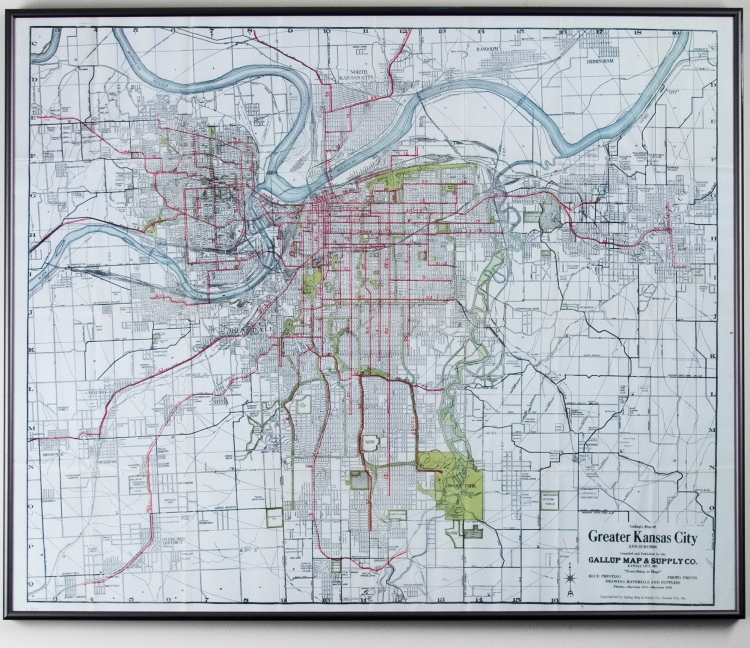
Map of Greater Kansas City & Suburbs
This map is of the Greater Kansas City Metro and Suburbs region. Text in the bottom righthand corner reads the company's slogan "Everything in Maps." The Gallup Map & Art Company was founded in Kansas City in 1875 and is one of the oldest operating cartography companies in the United States. A later reproduction of the same map can be found on their website and is listed as an "antique map featuring the streetcars" (GallupMap.com).