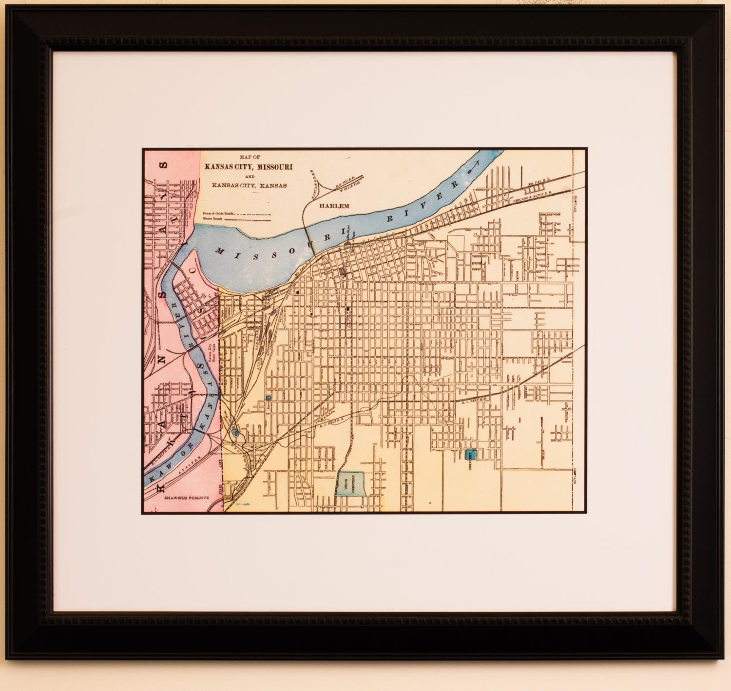
Map of Kansas City, MO and Kansas City, KS
This map provides a color-blocked depiction of Kansas City on a grid. The map used for this print was presumably much older since the key at the top identifies horse and cable roads as well as steam roads throughout the city. Steam roads refers to the roads that were created to accommodate the steam powered vehicles developed in the 1800s. The Missouri side, in yellow, features most of the grid as well as the Missouri Pacific, Chicago & Alton, and Kansas City Sunbelt railroads. They trail into the Kansas side, which is pink, and features more of the grid and the Shawnee Reserve. The Kaw, or Kansas River, empties into the Missouri River near the top of the map and both are rendered in blue.