Services, including logging in to resources, will be temporarily down for maintenance the evening of Friday, October 17.
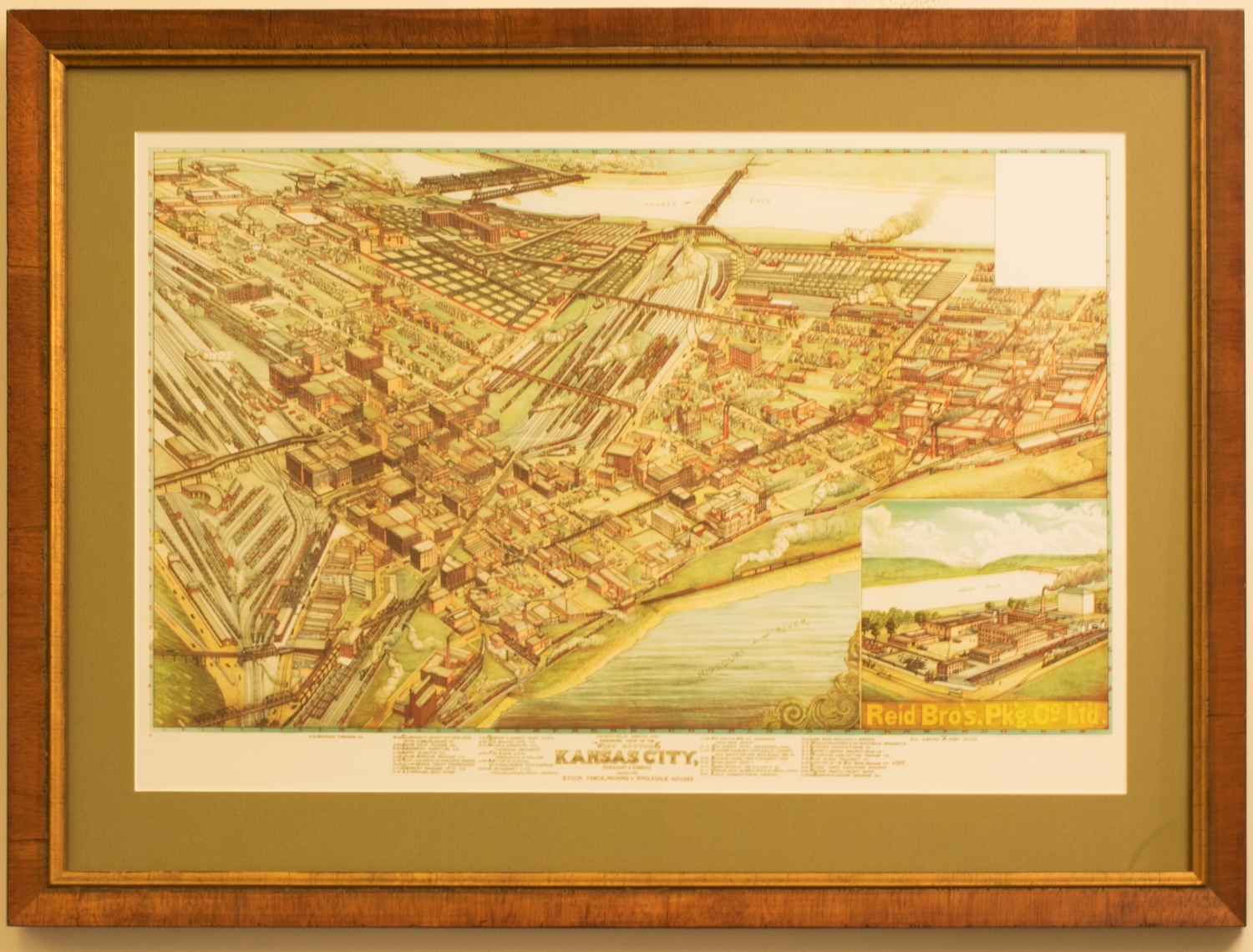
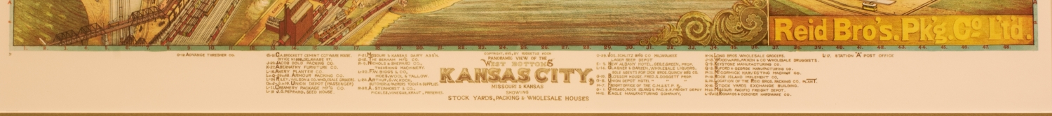
Panoramic View of the West Bottoms (Small)
This is a large "bird's eye" panoramic view of Kansas City's West Bottoms, namely the stockyards, packing, and wholesale houses. While being informational, the map also conveys the vitality of this district early in the city's history, as the West Bottoms were a confluence point of trade and commerce. Each street, building, and railroad track appears accounted for with minute detail and accuracy. Starting in the late 19th century, "Bird's eye" was a popular point of view to render cities despite air travel not being possible yet. Because of this, maps drawn from above were considered a novelty and high cartographic craft, especially considering the imagination in tune with devotion to detail required to create the scene.