All Locations will open late Thursday, October 16, at 11 a.m. for an all staff meeting.
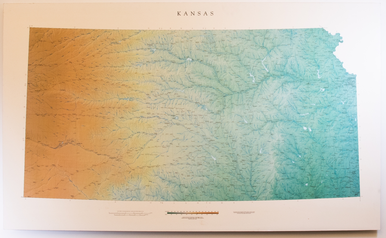
Raven Map of Kansas
This map created in 2000 depicts the state of Kansas in minute detail, complete with a legend centered at the bottom of the map. The map highlights urban and rural areas, rivers and tributaries, highways and railroads of primary and secondary importance, as well as neighboring states. Elevation and terrain are depicted through color gradation and change of hues, giving the 2-D print a 3-D appearance. This map printed on foam core was created as part of a set including Iowa, Missouri, Nebraska, and Oklahoma.