On Saturday, October 11, the Central Library is open to registered Heartland Book Festival attendees only. Regular services, such as hold pickups, public computers and phones, and public meeting rooms, will not be available.
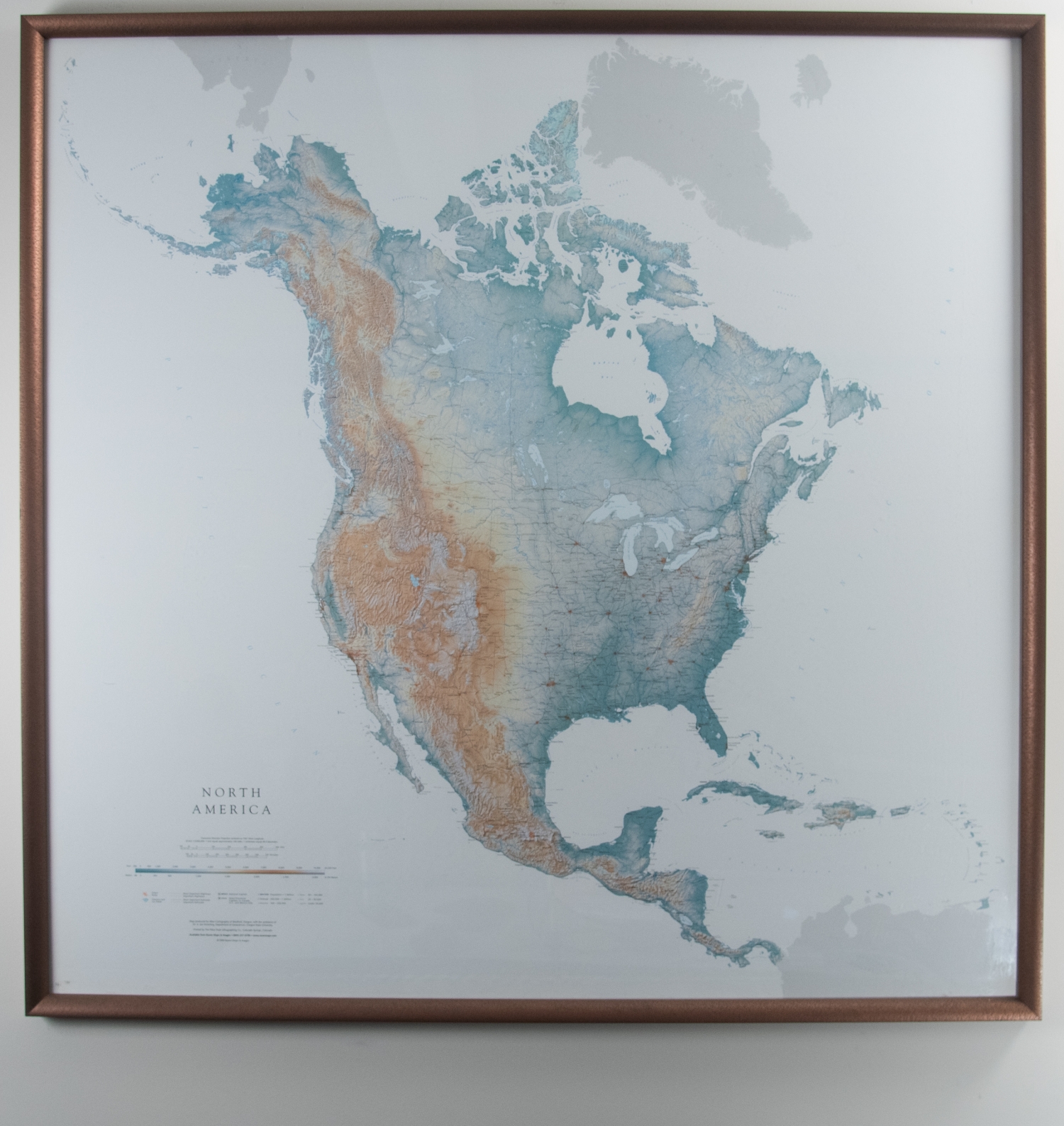
Raven Maps and Images Map of North America
This map depicts the North American continent in minute detail, complete with a legend located in the lower lefthand corner which highlights urban areas, national and state capitals, glaciers, ice fields, most important and important highways, as well as most important and important railroads. Elevation and terrain are depicted through color gradation and change of hues, giving the 2-D print a 3-D appearance.